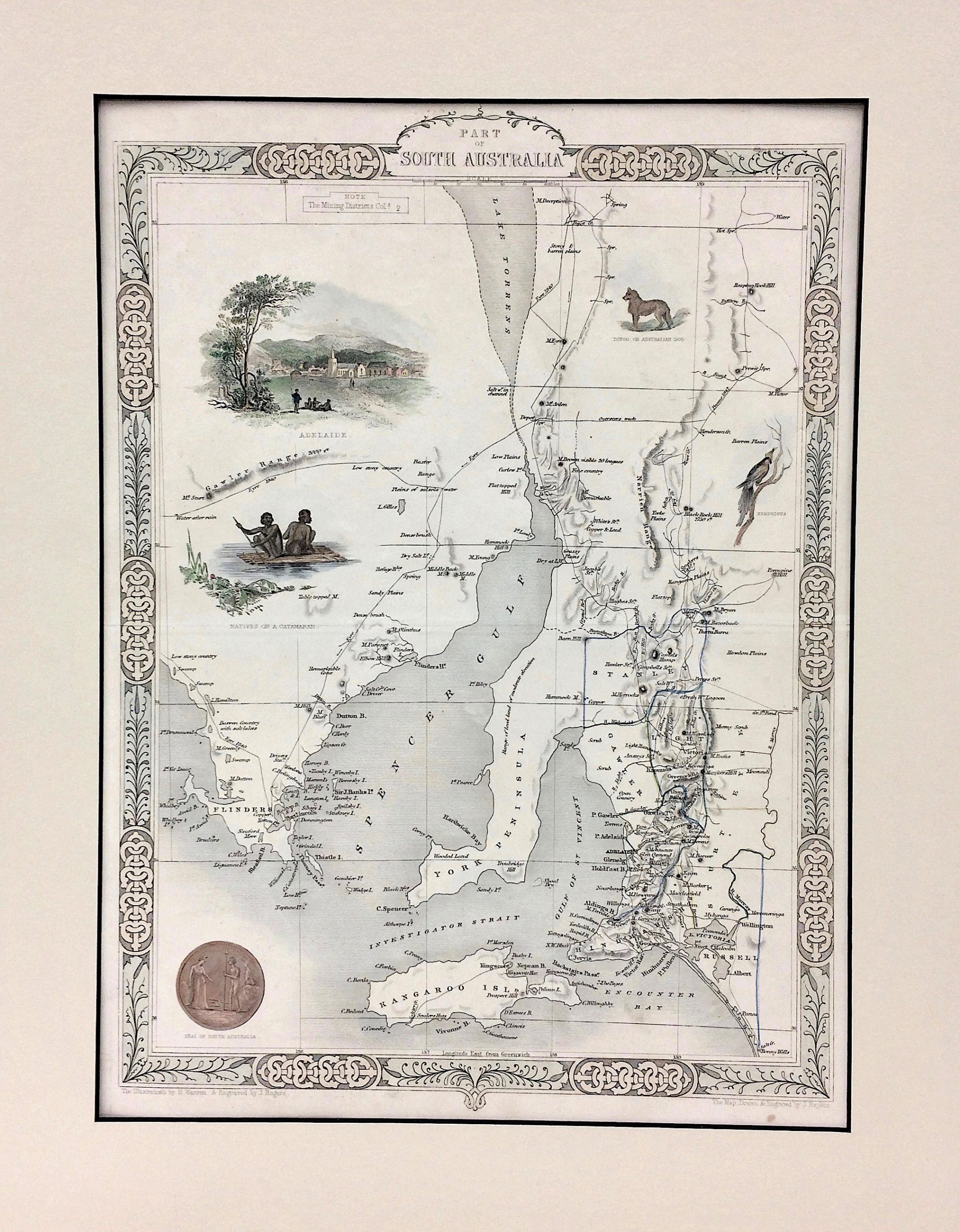
Part of South Australia

$425.00 AUD

Artist:  John Tallis
Edition: Coloured engraving c.1851
Image Size: 24.5 x 33.5cm
Matt Size: 34.5 x 43.5cm

In stock

If you're ordering from outside of Australia, please get in touch for a custom shipping quote prior to purchase.
Category:

Description

Matted Antique Map – Part of South Australia by John Tallis c1851.

This map shows Lake Torrens, Spencer Gulf, York Peninsula, and Kangaroo Island.
Overall good condition with a small brown dot at bottom right.

Has 4.5cm wide Cream Matt with 25.5 x 34.5cm black edged window.

Additional information

Dimensions 34.5 × 43.5 cm